
Roddick Creek topographic map
Interactive map
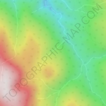
Click on the map to display elevation.
About this map
Name: Roddick Creek topographic map, elevation, terrain.
Average elevation: 922 m
Minimum elevation: 482 m
Maximum elevation: 1,508 m
Other topographic maps
Click on a map to view its topography, its elevation and its terrain.
Spuzzum
Canada > British Columbia > Area B (South Fraser Canyon/Sunshine Valley) > Spuzzum
Spuzzum, Area B (South Fraser Canyon/Sunshine Valley), British Columbia, V0K 2S1, Canada
Average elevation: 451 m