
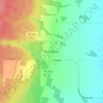
Birch River topographic map
Interactive map
Click on the map to display elevation.
About this map
Name: Birch River topographic map, elevation, terrain.
Location: Birch River, Manitoba, Canada (52.37439 -101.12344 52.41439 -101.08344)
Average elevation: 322 m
Minimum elevation: 294 m
Maximum elevation: 366 m