
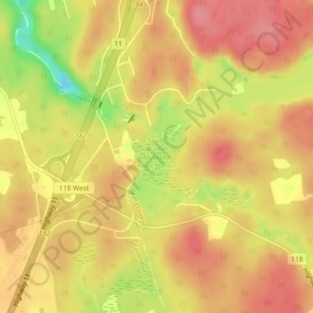
South Branch Muskoka River;Spence Lake topographic map
Interactive map
Click on the map to display elevation.
About this map
Name: South Branch Muskoka River;Spence Lake topographic map, elevation, terrain.
Average elevation: 275 m
Minimum elevation: 217 m
Maximum elevation: 303 m
Other topographic maps
Click on a map to view its topography, its elevation and its terrain.
Crosson Lake
Canada > Ontario > Muskoka District > Bracebridge
Crosson Lake, Bracebridge, District Municipality of Muskoka, Muskoka District, Central Ontario, Ontario, Canada
Average elevation: 339 m
Bonnie Lake
Canada > Ontario > Muskoka District > Bracebridge
Bonnie Lake, Bracebridge, District Municipality of Muskoka, Muskoka District, Central Ontario, Ontario, Canada
Average elevation: 321 m
McKay Lake
Canada > Ontario > Muskoka District > Bracebridge
McKay Lake, Bracebridge, District Municipality of Muskoka, Muskoka District, Central Ontario, Ontario, Canada
Average elevation: 314 m