
Mangarul topographic map
Interactive map
Click on the map to display elevation.
About this map
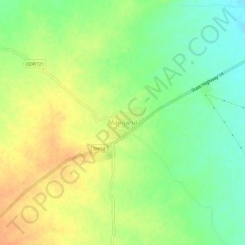
Name: Mangarul topographic map, elevation, terrain.
Location: Mangarul, Amalner, Jalgaon, Maharashtra, 425401, India (21.00196 75.00205 21.04196 75.04205)
Average elevation: 207 m
Minimum elevation: 188 m
Maximum elevation: 225 m