
Chambeshi topographic map
Interactive map
Click on the map to display elevation.
About this map
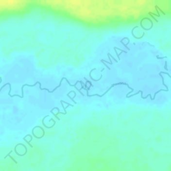
Name: Chambeshi topographic map, elevation, terrain.
Location: Chambeshi, Provincia del Norte, Zambia (-9.80964 31.89840 -9.80818 31.89932)
Average elevation: 1,222 m
Minimum elevation: 1,216 m
Maximum elevation: 1,236 m
Other topographic maps
Click on a map to view its topography, its elevation and its terrain.
Lake Mweru Wantipa
Lake Mweru Wantipa, Provincia del Norte, Zambia
Average elevation: 1,044 m