
Lagunitas topographic map
Interactive map
Click on the map to display elevation.
About this map
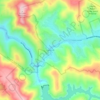
Name: Lagunitas topographic map, elevation, terrain.
Location: Lagunitas, Marin County, California, 94938, USA (37.99131 -122.72221 38.03131 -122.68221)
Average elevation: 209 m
Minimum elevation: 58 m
Maximum elevation: 437 m