
Khueang Nai topographic map
Interactive map
Click on the map to display elevation.
About this map
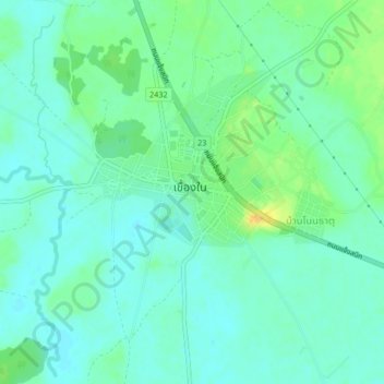
Name: Khueang Nai topographic map, elevation, terrain.
Location: Khueang Nai, Ubon Ratchathani Province, Thailand (15.36841 104.53185 15.40841 104.57185)
Average elevation: 124 m
Minimum elevation: 115 m
Maximum elevation: 146 m