
Phu Kradung topographic map
Interactive map
Click on the map to display elevation.
About this map
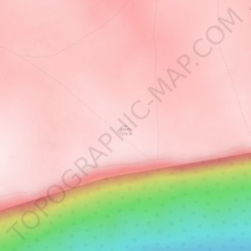
Name: Phu Kradung topographic map, elevation, terrain.
Location: Phu Kradung, Loei Province, Thailand (16.86801 101.77578 16.86811 101.77588)
Average elevation: 1,183 m
Minimum elevation: 846 m
Maximum elevation: 1,281 m