
Ausable River topographic map
Interactive map
Click on the map to display elevation.
About this map
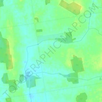
Name: Ausable River topographic map, elevation, terrain.
Average elevation: 292 m
Minimum elevation: 284 m
Maximum elevation: 303 m
Other topographic maps
Click on a map to view its topography, its elevation and its terrain.
Crediton
Canada > Ontario > South Huron
Crediton, South Huron, Huron County, Southwestern Ontario, Ontario, N0M 1M0, Canada
Average elevation: 250 m