
괴정동 topographic map
Interactive map
Click on the map to display elevation.
About this map
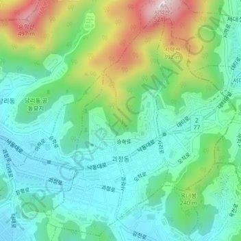
Name: 괴정동 topographic map, elevation, terrain.
Location: 괴정동, 사하구, Busan, Corée du Sud (35.09105 128.97526 35.11855 129.01030)
Average elevation: 154 m
Minimum elevation: 11 m
Maximum elevation: 498 m