
Sunndal topographic map
Interactive map
Click on the map to display elevation.
About this map
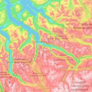
Name: Sunndal topographic map, elevation, terrain.
Location: Sunndal, Møre og Romsdal, Norway (62.35319 8.20613 62.94126 9.24382)
Average elevation: 868 m
Minimum elevation: 0 m
Maximum elevation: 1,986 m
Other topographic maps
Click on a map to view its topography, its elevation and its terrain.
Geiranger
Norway > Møre og Romsdal > Geiranger
Geiranger, Stranda, Møre og Romsdal, 6216, Norway
Average elevation: 559 m