
Hưng Lợi topographic map
Interactive map
Click on the map to display elevation.
About this map
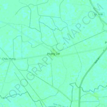
Name: Hưng Lợi topographic map, elevation, terrain.
Location: Hưng Lợi, Thạnh Trị District, Soc Trang province, Vietnam (9.37930 105.65303 9.45930 105.73303)
Average elevation: 3 m
Minimum elevation: 0 m
Maximum elevation: 6 m