
Lake Massawippi topographic map
Interactive map
Click on the map to display elevation.
About this map
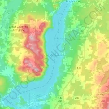
Name: Lake Massawippi topographic map, elevation, terrain.
Average elevation: 243 m
Minimum elevation: 153 m
Maximum elevation: 427 m
Other topographic maps
Click on a map to view its topography, its elevation and its terrain.
Lac Magog
Canada > Quebec > Sainte-Catherine-de-Hatley
Lac Magog, Sainte-Catherine-de-Hatley, Memphrémagog, Estrie, Quebec, Canada
Average elevation: 235 m