
Corbin topographic map
Interactive map
Click on the map to display elevation.
About this map
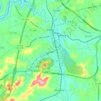
Name: Corbin topographic map, elevation, terrain.
Location: Corbin, Whitley County, Kentucky, USA (36.90125 -84.14230 36.96599 -84.05054)
Average elevation: 360 m
Minimum elevation: 304 m
Maximum elevation: 514 m