
Mayhill topographic map
Interactive map
Click on the map to display elevation.
About this map
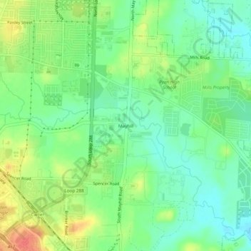
Name: Mayhill topographic map, elevation, terrain.
Location: Mayhill, Denton County, Texas, 76208, USA (33.18429 -97.10446 33.22429 -97.06446)
Average elevation: 183 m
Minimum elevation: 162 m
Maximum elevation: 214 m