
Sicily Island topographic map
Interactive map
Click on the map to display elevation.
About this map
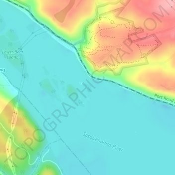
Name: Sicily Island topographic map, elevation, terrain.
Location: Sicily Island, Drumore, Lancaster County, Pennsylvania, USA (39.79813 -76.29309 39.79985 -76.29036)
Average elevation: 74 m
Minimum elevation: 23 m
Maximum elevation: 192 m