
Cokeville topographic map
Interactive map
Click on the map to display elevation.
About this map
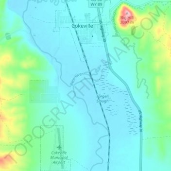
Name: Cokeville topographic map, elevation, terrain.
Location: Cokeville, Lincoln County, Wyoming, United States (42.03844 -110.97459 42.09293 -110.94430)
Average elevation: 1,914 m
Minimum elevation: 1,877 m
Maximum elevation: 2,096 m