
Shohada Square topographic map
Interactive map
Click on the map to display elevation.
About this map
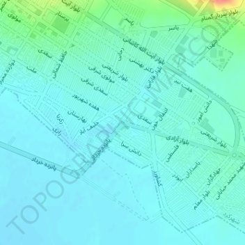
Name: Shohada Square topographic map, elevation, terrain.
Average elevation: 2,054 m
Minimum elevation: 2,043 m
Maximum elevation: 2,112 m
Other topographic maps
Click on a map to view its topography, its elevation and its terrain.
Shahr-e Kord
Iran > Chaharmahal and Bakhtiyari Province > Shahr-e Kord
Shahr-e Kord, بخش مرکزی, Sharekurd County, Chaharmahal and Bakhtiyari Province, Iran
Average elevation: 2,102 m