
Trigais topographic map
Interactive map
Click on the map to display elevation.
About this map
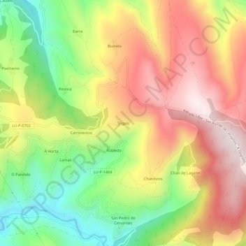
Name: Trigais topographic map, elevation, terrain.
Location: Trigais, Lugo, Galicia, 27666, España (42.81612 -7.03895 42.85612 -6.99895)
Average elevation: 857 m
Minimum elevation: 510 m
Maximum elevation: 1,188 m