
Dayton topographic map
Interactive map
Click on the map to display elevation.
About this map
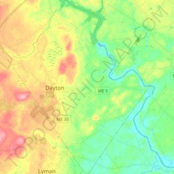
Name: Dayton topographic map, elevation, terrain.
Location: Dayton, York County, Maine, 04005-7427, USA (43.49426 -70.63426 43.59483 -70.51582)
Average elevation: 57 m
Minimum elevation: 11 m
Maximum elevation: 125 m