
Haft tanan topographic map
Interactive map
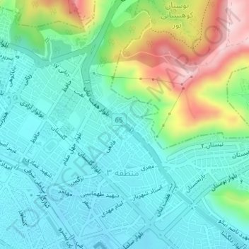
Click on the map to display elevation.
About this map
Name: Haft tanan topographic map, elevation, terrain.
Average elevation: 1,595 m
Minimum elevation: 1,518 m
Maximum elevation: 1,807 m
Other topographic maps
Click on a map to view its topography, its elevation and its terrain.
zone 11
Iran > Fars Province > Shiraz
zone 11, Shiraz, بخش مرکزی شهرستان شیراز, Shiraz County, Fars Province, Iran
Average elevation: 1,557 m