
Hornád topographic map
Interactive map
Click on the map to display elevation.
About this map
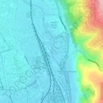
Name: Hornád topographic map, elevation, terrain.
Average elevation: 232 m
Minimum elevation: 203 m
Maximum elevation: 354 m
Other topographic maps
Click on a map to view its topography, its elevation and its terrain.
District of Košice I
Slovakia > Region of Košice > Košice
District of Košice I, Košice, Region of Košice, Eastern Slovakia, Slovakia
Average elevation: 390 m