
Cramerton topographic map
Interactive map
Click on the map to display elevation.
About this map
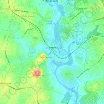
Name: Cramerton topographic map, elevation, terrain.
Location: Cramerton, Gaston County, North Carolina, 28032, USA (35.21391 -81.09848 35.25958 -81.05223)
Average elevation: 202 m
Minimum elevation: 173 m
Maximum elevation: 274 m