
Pincher Creek topographic map
Interactive map
Click on the map to display elevation.
About this map
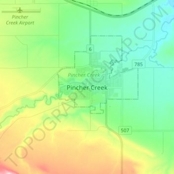
Name: Pincher Creek topographic map, elevation, terrain.
Location: Pincher Creek, Alberta, T0K 1W0, Canada (49.44567 -113.99029 49.52567 -113.91029)
Average elevation: 1,171 m
Minimum elevation: 1,090 m
Maximum elevation: 1,349 m