
Chardavol County topographic map
Interactive map
Click on the map to display elevation.
About this map
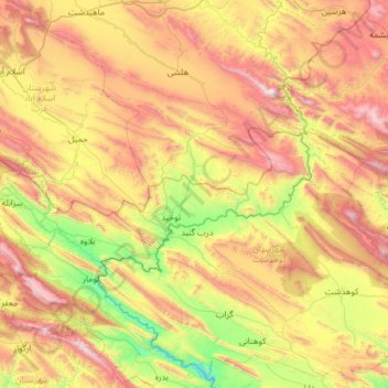
Name: Chardavol County topographic map, elevation, terrain.
Location: Chardavol County, Ilam Province, Iran (33.58353 46.28909 33.99548 47.51470)
Average elevation: 1,447 m
Minimum elevation: 612 m
Maximum elevation: 2,791 m