
Sedley topographic map
Interactive map
Click on the map to display elevation.
About this map
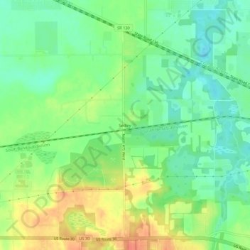
Name: Sedley topographic map, elevation, terrain.
Location: Sedley, Porter County, Indiana, 46393, United States (41.46865 -87.17753 41.50865 -87.13753)
Average elevation: 211 m
Minimum elevation: 192 m
Maximum elevation: 237 m