
Craighurst topographic map
Interactive map
Click on the map to display elevation.
About this map
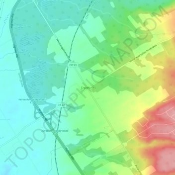
Name: Craighurst topographic map, elevation, terrain.
Location: Craighurst, Simcoe County, Ontario, L4M 4Y8, Canada (44.50986 -79.74580 44.54986 -79.70580)
Average elevation: 272 m
Minimum elevation: 232 m
Maximum elevation: 354 m