
Structure topographic map
Interactive map
Click on the map to display elevation.
About this map
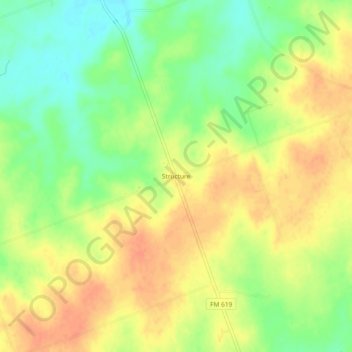
Name: Structure topographic map, elevation, terrain.
Location: Structure, Williamson County, Texas, United States (30.45187 -97.29472 30.49187 -97.25472)
Average elevation: 164 m
Minimum elevation: 141 m
Maximum elevation: 182 m