
Michigamme topographic map
Interactive map
Click on the map to display elevation.
About this map
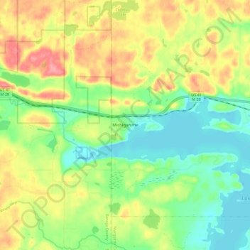
Name: Michigamme topographic map, elevation, terrain.
Location: Michigamme, Marquette County, Michigan, 49861, United States (46.52555 -88.11671 46.54345 -88.00498)
Average elevation: 508 m
Minimum elevation: 469 m
Maximum elevation: 559 m