
Radium topographic map
Interactive map
Click on the map to display elevation.
About this map
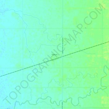
Name: Radium topographic map, elevation, terrain.
Location: Radium, Marshall County, Minnesota, United States (48.20942 -96.63367 48.24942 -96.59367)
Average elevation: 281 m
Minimum elevation: 276 m
Maximum elevation: 288 m