
Balteiro topographic map
Interactive map
Click on the map to display elevation.
About this map
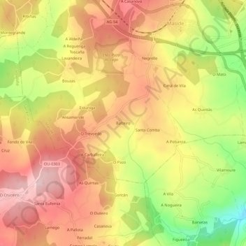
Name: Balteiro topographic map, elevation, terrain.
Location: Balteiro, O Carballiño, Ourense, Galicia, 32573, España (42.37587 -8.05769 42.41587 -8.01769)
Average elevation: 375 m
Minimum elevation: 232 m
Maximum elevation: 472 m