
Karkar topographic map
Interactive map
Click on the map to display elevation.
About this map
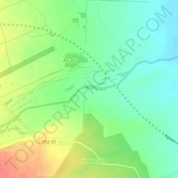
Name: Karkar topographic map, elevation, terrain.
Location: Karkar, Askeran Region, Artsakh Republic, Azerbaijan (39.96846 47.00117 39.97818 47.03361)
Average elevation: 285 m
Minimum elevation: 261 m
Maximum elevation: 322 m
Other topographic maps
Click on a map to view its topography, its elevation and its terrain.
Stepanakert
Azerbaijan > Askeran Region > Hankendi
Stepanakert, Meliqavan street, Meliqavan, Hankendi, Askeran Region, 375000, Azerbaijan
Average elevation: 681 m