
Эльбанское городское поселение topographic map
Interactive map
Click on the map to display elevation.
About this map
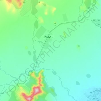
Name: Эльбанское городское поселение topographic map, elevation, terrain.
Average elevation: 65 m
Minimum elevation: 16 m
Maximum elevation: 361 m