
Lemera topographic map
Interactive map
Click on the map to display elevation.
About this map
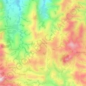
Name: Lemera topographic map, elevation, terrain.
Location: Lemera, Bafuliro (chefferie), Uvira, South Kivu, DR Congo (-3.05564 28.96517 -3.01564 29.00517)
Average elevation: 1,566 m
Minimum elevation: 1,306 m
Maximum elevation: 1,808 m