
Tendring topographic map
Interactive map
Click on the map to display elevation.
About this map
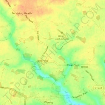
Name: Tendring topographic map, elevation, terrain.
Location: Tendring, Essex, East of England, England, United Kingdom (51.85627 1.07813 51.90119 1.14375)
Average elevation: 24 m
Minimum elevation: 3 m
Maximum elevation: 38 m