
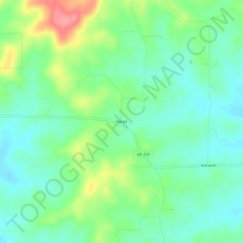
Hamil topographic map
Interactive map
Click on the map to display elevation.
About this map
Name: Hamil topographic map, elevation, terrain.
Location: Hamil, Randolph County, Arkansas, USA (36.38312 -91.08540 36.42312 -91.04540)
Average elevation: 139 m
Minimum elevation: 110 m
Maximum elevation: 202 m