
Kalemie topographic map
Interactive map
Click on the map to display elevation.
About this map
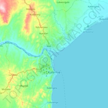
Name: Kalemie topographic map, elevation, terrain.
Location: Kalemie, Tanganyika, DR Congo (-6.00112 29.12117 -5.83521 29.27243)
Average elevation: 813 m
Minimum elevation: 765 m
Maximum elevation: 1,042 m