
Rego de Penil topographic map
Interactive map
Click on the map to display elevation.
About this map
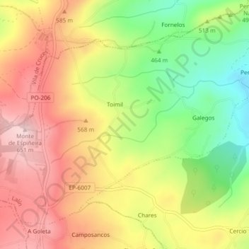
Name: Rego de Penil topographic map, elevation, terrain.
Location: Rego de Penil, Lalín, Deza, Pontevedra, Galicia, 36596, España (42.76293 -8.15009 42.77131 -8.12895)
Average elevation: 522 m
Minimum elevation: 377 m
Maximum elevation: 649 m
Other topographic maps
Click on a map to view its topography, its elevation and its terrain.
Serra do Faro
Serra do Faro, Lalín, Deza, Pontevedra, Galicia, 36516, España
Average elevation: 626 m