
Trout Creek topographic map
Interactive map
Click on the map to display elevation.
About this map
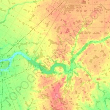
Name: Trout Creek topographic map, elevation, terrain.
Location: Trout Creek, Oxford County, Ontario, N4X 1A8, Canada (43.24258 -81.14485 43.29932 -80.90336)
Average elevation: 350 m
Minimum elevation: 305 m
Maximum elevation: 389 m