
Rolan topographic map
Interactive map
Click on the map to display elevation.
About this map
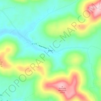
Name: Rolan topographic map, elevation, terrain.
Location: Rolan, Clinton County, Kentucky, USA (36.63201 -85.05328 36.67201 -85.01328)
Average elevation: 357 m
Minimum elevation: 262 m
Maximum elevation: 538 m