
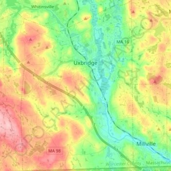
Uxbridge topographic map
Interactive map
Click on the map to display elevation.
About this map
Name: Uxbridge topographic map, elevation, terrain.
Location: Uxbridge, Worcester, Massachusetts, USA (42.01153 -71.69652 42.11441 -71.59111)
Average elevation: 115 m
Minimum elevation: 55 m
Maximum elevation: 196 m