
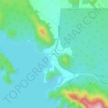
Ban Mong Kra Thae topographic map
Interactive map
Click on the map to display elevation.
About this map
Name: Ban Mong Kra Thae topographic map, elevation, terrain.
Location: Ban Mong Kra Thae, Kanchanaburi Province, Thailand (14.41088 99.10930 14.45088 99.14930)
Average elevation: 220 m
Minimum elevation: 159 m
Maximum elevation: 491 m