
Millbank topographic map
Interactive map
Click on the map to display elevation.
About this map
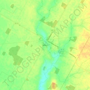
Name: Millbank topographic map, elevation, terrain.
Average elevation: 382 m
Minimum elevation: 364 m
Maximum elevation: 395 m
Other topographic maps
Click on a map to view its topography, its elevation and its terrain.
Milverton
Canada > Ontario > Perth County > Perth East
Milverton, Perth East, Perth County, Southwestern Ontario, Ontario, N0K 1M0, Canada
Average elevation: 377 m