
Edgemere topographic map
Interactive map
Click on the map to display elevation.
About this map
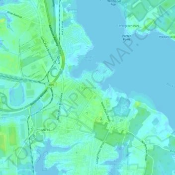
Name: Edgemere topographic map, elevation, terrain.
Location: Edgemere, Baltimore County, Maryland, 21219, USA (39.22205 -76.46802 39.26205 -76.42802)
Average elevation: 4 m
Minimum elevation: -5 m
Maximum elevation: 14 m