
قرية العامرية topographic map
Interactive map
Click on the map to display elevation.
About this map
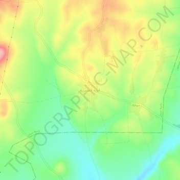
Name: قرية العامرية topographic map, elevation, terrain.
Location: قرية العامرية, Gouvernorat d'Idleb, Syrie (35.48208 36.60707 35.52208 36.64707)
Average elevation: 436 m
Minimum elevation: 378 m
Maximum elevation: 510 m