
La Sierra topographic map
Interactive map
Click on the map to display elevation.
About this map
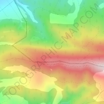
Name: La Sierra topographic map, elevation, terrain.
Average elevation: 790 m
Minimum elevation: 577 m
Maximum elevation: 1,007 m
Other topographic maps
Click on a map to view its topography, its elevation and its terrain.
La Sierra
España > Castilla y León > Condado de Treviño
La Sierra, Condado de Treviño, Miranda de Ebro, Castilla y León, España
Average elevation: 886 m