
Vierli topographic map
Interactive map
Click on the map to display elevation.
About this map
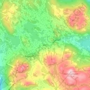
Name: Vierli topographic map, elevation, terrain.
Location: Vierli, Vinje, Telemark, Noorwegen (59.72702 8.15000 59.76702 8.19000)
Average elevation: 1,009 m
Minimum elevation: 881 m
Maximum elevation: 1,170 m