
Sågen topographic map
Interactive map
Click on the map to display elevation.
About this map
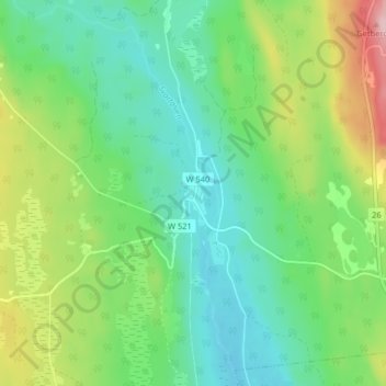
Name: Sågen topographic map, elevation, terrain.
Location: Sågen, Vansbro, Dalarna, Svealand, Zweden (60.24063 14.11469 60.28063 14.15469)
Average elevation: 316 m
Minimum elevation: 252 m
Maximum elevation: 459 m