
Flo topographic map
Interactive map
Click on the map to display elevation.
About this map
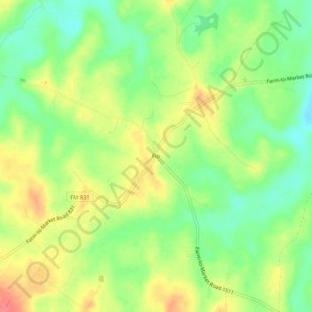
Name: Flo topographic map, elevation, terrain.
Location: Flo, Leon County, Texas, VS (31.39823 -95.93301 31.43823 -95.89301)
Average elevation: 101 m
Minimum elevation: 71 m
Maximum elevation: 134 m