
Rauland topographic map
Interactive map
Click on the map to display elevation.
About this map
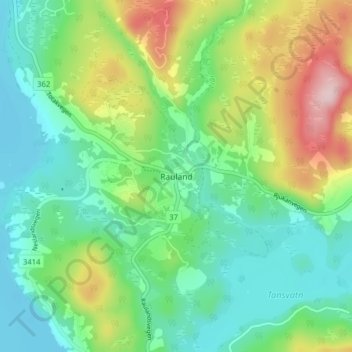
Name: Rauland topographic map, elevation, terrain.
Location: Rauland, Vinje, Telemark, Noorwegen (59.68347 8.03354 59.72347 8.07354)
Average elevation: 761 m
Minimum elevation: 683 m
Maximum elevation: 906 m